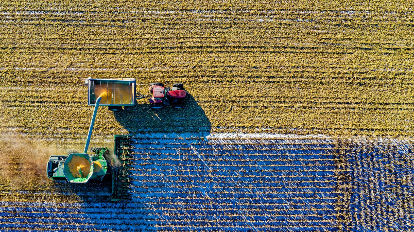
Monitoring the state of crops on hundreds of acres of farmland sounds like a formidable task, if not impossible. Yet this is what farmers and agribusinesses demand from agronomists. To give these agronomists a helping hand, Australian startup FluroSat provides a solution, combining satellite imagery and ground data, to anticipate potential crop problems.
FluroSat’s main product, FluroSense, combines data from various sources, including high resolution satellite imagery, weather records and ground-level sensors, into one dashboard and uses agricultural crop models and machine learning to predict stress events, such as overwatering, lack of fertilizer or pest infestation. Clients can then quickly locate the problem areas and fix them.
“What we do is crop modeling based on weather data, which includes satellite imagery as the feedback loop,” Anastasia Volkova, CEO and founder of FluroSat, said in a recent interview. “We can track [the plant’s] development through modeling that allows us to say how much the biomass is supposed to be at various stages.”
Launched in 2016, Sydney-based FluroSat has expanded quickly beyond Australia and New Zealand, to open representative officesin the US, Ukraine and Brazil. FluroSat currently operates in 14 countries, with pilot projects in at least three others. FluroSat won Future Food Asia’s top award of $100,000 in September, beating nearly startups from 18 countries.
It raised A$4.6m in 2019 in an investment round co-led by Microsoft’s venture fund M12 and Main Sequence Ventures of CSIRO, the Australian government scientific research agency, with the participation of AirTree, Space Angels, Artesian and other investors. To date the company has received A$8.6m in funding and grants.
Seamless integration
After four years of working with agronomists and agribusinesses, Volkova is confident that FluroSense has enough data to generate accurate modeling for various types of crops and geographies. This is not achieved by a single machine learning model, but separate modules for different families of crops. Each model can then be made specific to each type of crop, she said.
Some of FluroSat’s clients that run large-scale farming operations already have data collection and automation platforms, such as ProAgrica, Agworld, and John Deere. In addition to agronomists and farmers in Australia and New Zealand, FluroSat also works with more than 20 agriculture multinationals. According to Volkova, FluroSense’s strongest feature is its ability to easily integrate with these platforms and combine its data processing and modeling technology with data from those platforms.
An example is SprayWise Decisions, a platform run by Australian agricultural chemical company, Nufarm. Using FluroSat’s crop and weather modeling, SprayWise Decisions provides advice on exactly when farmers need to spray their crops. Netafim, an Israeli irrigation equipment manufacturer, provides precise predictions of water needs and potential irrigation issues by integrating its platform with FluroSat.
“We are spending a lot of time and energy investing in workflows and integrations. This is one of the most important focal points of our product,” Volkova said. "This is how FluroSat differentiates itself from the competition and expanded quickly.
"The workflow is the underlying fabric of human relationships. If your input provider or food processor has a better idea of how their crops are performing and you have touchpoints with them, it would be a much more productive relationship."
Through machine learning-based crop modeling, FluroSense takes advantage of data fed into the system by clients to keep refining its models. “Clients are excited to see how their data feeds into the machine learning module. They can see if there are areas they need to look for more data," she said.
FluroSat also uses actual soil data sourced from researchers, agronomists, and farmers to predict certain parameters, such as nitrogen content, as conventional satellites cannot see chemical content in the soil.
Opportunities, challenges in Asia
Although FluroSat can provide its services to anyone because it can process data from anywhere, its presence in Asia is limited to pilot tests in India, Sri Lanka, Cambodia and Vietnam. Volkova sees potential for expansion in the region, but there are also challenges to overcome.
A key difference in the farming sector between Asia and FluroSat’s current market is the size of the holdings. Most farmers in Asia are smallholders with much smaller areas of land compared with broadacre farms in Australia and the US. Volkova said this could be tricky when fitting FluroSat’s product offering into Asian markets, but that’s not their biggest challenge.
“It's not actually the size of the fields, it's the environment. Some places get so much rain, with many cloudy days. That’s a problem for remote sensing via satellites,” Volkova said. “Of course we can acquire [ground level] data, but that's additional cost. So we need to solve the problem of how to not increase costs prohibitively, while still drawing enough data to provide the analytics."
Sustainability reporting
With its data on crops, agrichemical use and environmental impacts, all in a single platform, FluroSat has found a new use for its product: sustainability reporting. Some of FluroSat’s clients are using it to compile compliance data for sustainability certification in agricultural practices.
Volkova sees a big opportunity in sustainability reporting for the agricultural sector. As agricultural activities involve planting crops in wide areas, it could potentially be marketed as a carbon-capture industry. However, she also said there needs to be clear regulations and standards on sustainability reporting for agriculture.
Agritech companies are under pressure to demonstrate their products were produced with sustainable practices, she said, but current agricultural sustainability reporting is still inadequate, and trust is lacking.
“You want regulation so you can trust the certification and the carbon credit you're buying. You can't estimate this from satellite images alone," she said. "You need to demonstrate the science and produce reports with demonstrable accuracy before you can say it's a viable, sustainable option for monitoring sustainability practices.”
